We build data platform.
Showcases

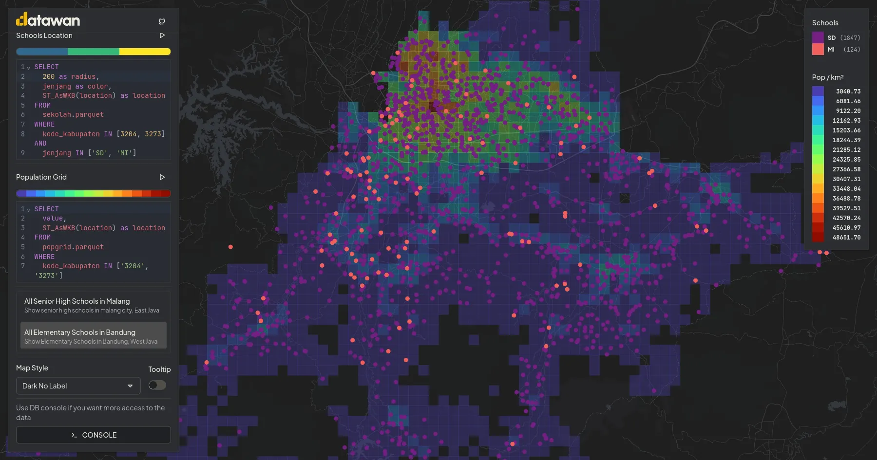
Visualizing School Distribution and Population Density in Indonesia
Interactive and dynamic mapping 1km² population density alongside 400k++ school locations. All processing is done in client side. This study shows how spatial data can reveal patterns of educational access across the country.

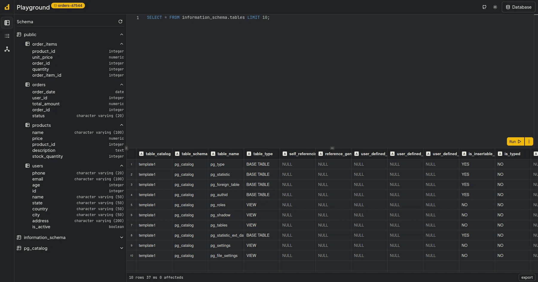
PostgreSQL Playground
In Browser PostgreSQL Playground, no server, just client and PGLite, a PostgreSQL WASM. All processing is done in the browser, so your data stays private. you can use this project as learning tools for postgreSQL without worrying about data and setup the DB.

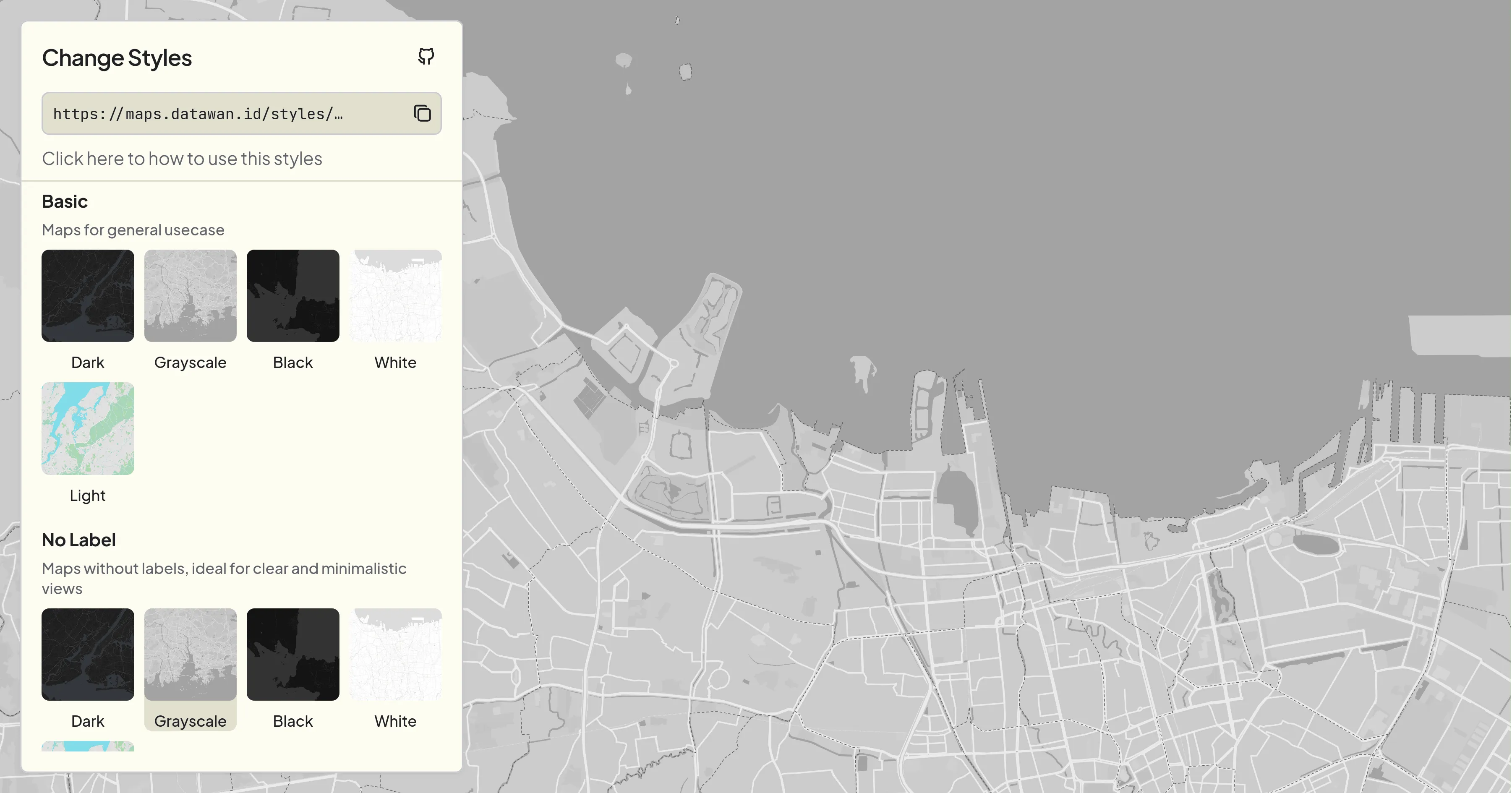
Collection of Free Maps Styles for Mapbox / Maplibre
Collection of Free Vector Styles for Mapbox / Maplibre used in all datawan projects, based on self hosted full planet OpenStreetMap data from Protomaps